Hiking & Walking Hit the Trails
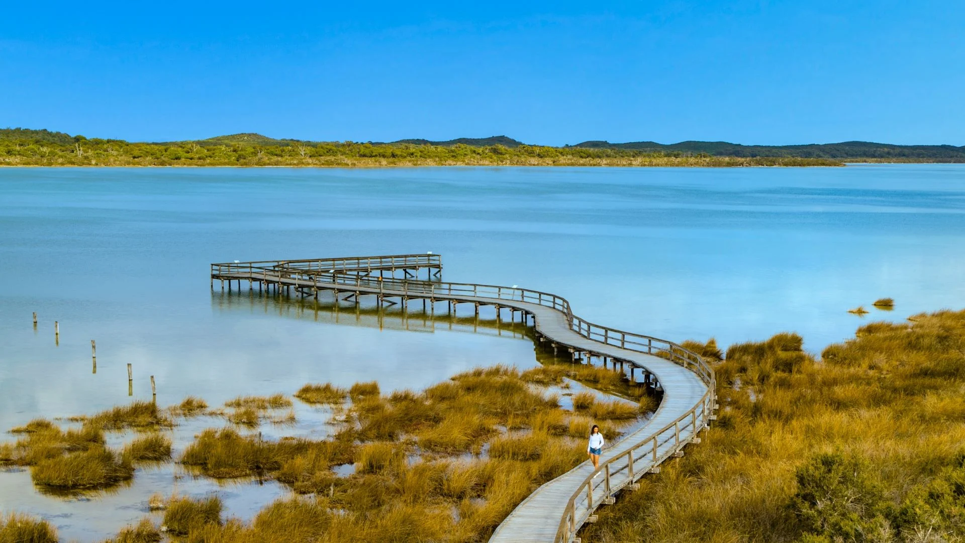
Discover scenic trails perfect for all fitness levels! Wander through wetlands, bushland, and coastal paths while spotting wildlife and soaking in Mandurah’s breathtaking natural beauty.
Discover scenic trails perfect for all fitness levels! Wander through wetlands, bushland, and coastal paths while spotting wildlife and soaking in Mandurah’s breathtaking natural beauty.
Ready for an adventure? Explore Mandurah’s top trails!
Ready to hit the trails? Check out the map for easy-to-find starting points for each trail. Whether you’re starting at the coast or winding through the bush, adventure is just around the corner!
Stay safe and prepared for your adventure!
Mandurah Walking Map (available from Visitor Centre)
Sturdy Shoes
Sunscreen
Hat
Water Bottle
Binoculars
Camera
Insect Repellent
Mandurah has so much more to offer! Discover even more ways to make the most of your time outdoors.